It’s immense.
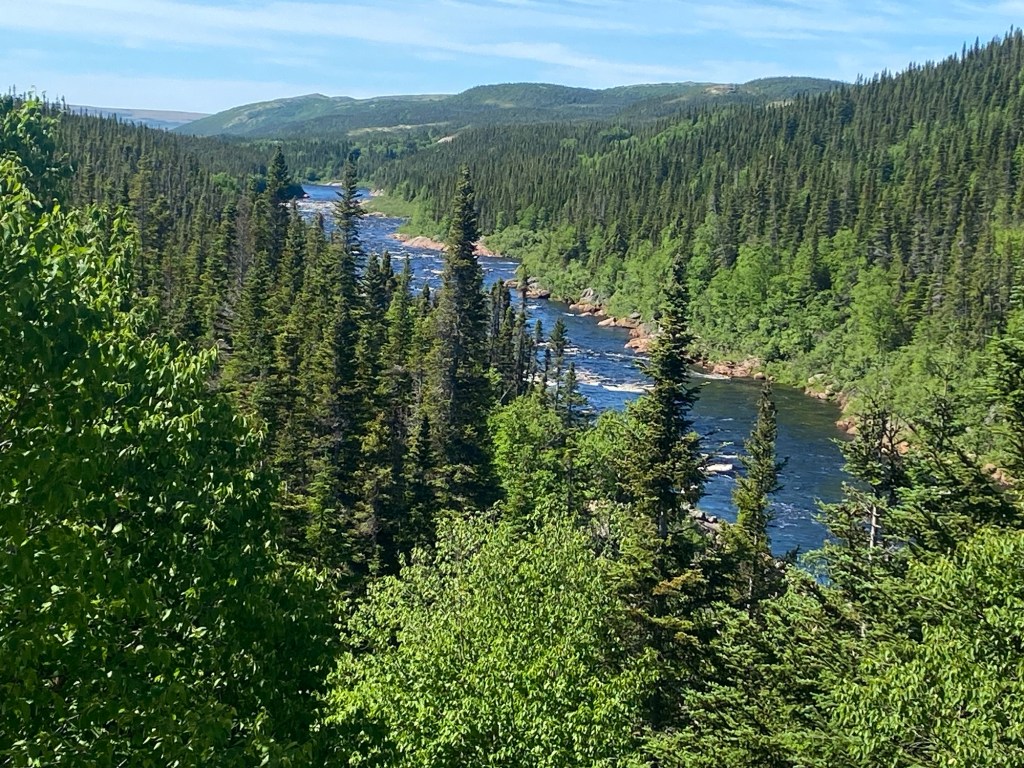
The standard unit of measurement of land mass size is a Wales. At 405000 sq km, Labrador is 19.5 Waleses. With a population of 521000 souls , there’s 1.3 people for each sq km. In Wales, hardly the most populous place on the planet, each sq km holds 150 people on average. Maybe that’s not quite so different – there are so many rivers and lakes in Labrador that at times it seems as though 90% of the territory is water. Other than a thin rind of habitation around the south-western coast, the people that there mainly live in one of the two larger towns or smaller towns that exist specifically to provide homes and services for specific industries.
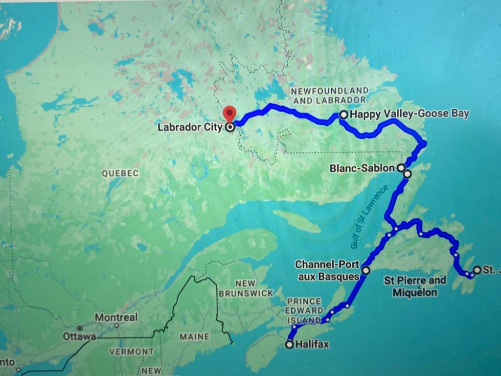
As usual, I’m getting ahead of myself. Riding north along a gorgeous coast road on the island of Newfoundland we arrived at the ferry port of St Barbe, which is little more than a boarding ramp and a motel where we spent the night before a 7.30 ferry the next day.
The weather had turned in our favour. Crossing the Labrador Strait, a distance of 28 km, took about 4 hours under blue skies and with no wind, and a calm sparkling sea. A humpback whale surfaced and blew it’s spout three or four times – a lovely sight.
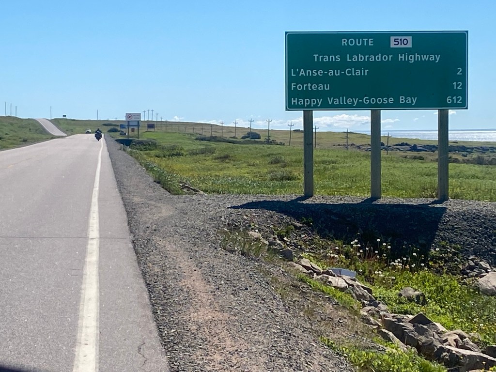
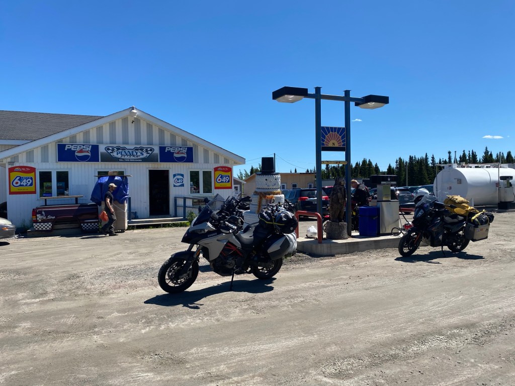
After disembarking at Blanc Sablon, which is in fact in Quebec province, we headed east in high spirits. Not really knowing how far we would get, the only road took us north, and the second largest town of Labrador, the childishly named Happy Valley Goose Bay. A fueling stop at Port Hope Simpson felt like something from a dystopian film, being so remote and with so few people living there. But the next available fuel would be in HV-GB, over 400 km away. Which is further than three of our bikes would do on one tank, so I had bought a 5 litre can, and others had made similar provisions. Then a long ride, equating to roughly 250 miles as the weather deteriorated and a strong headwind developed, increasing the fuel consumption significantly. I made it with just a handful of miles to spare. Rain started to fall as we sought the campsite – in the end a hotel was far more welcoming.
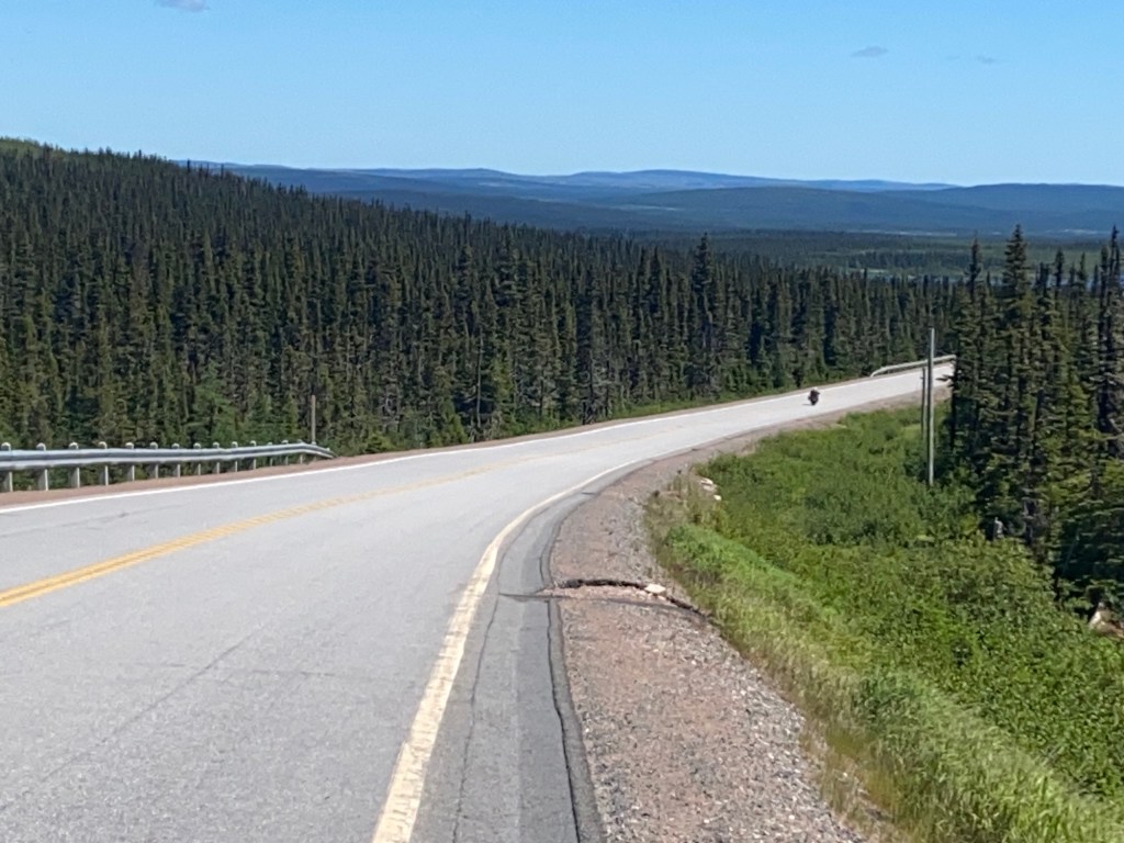
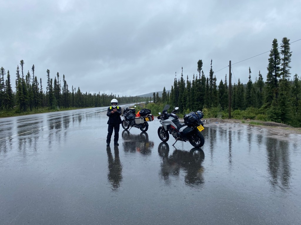
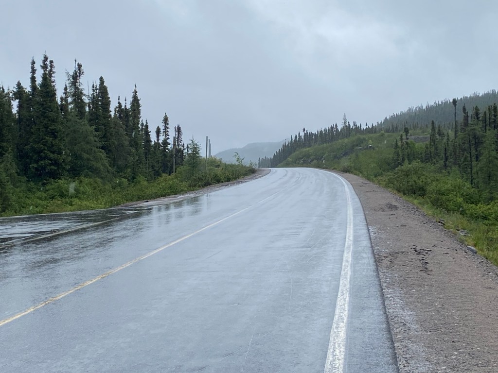
We had been concerned about reports of wildfires on the Trans Labrador Highway, connecting HV-GB with Labrador City. At one stage a few days previously, the road was closed as a large fire engulfed the forest right up to the edge of the road. Between the two ends of the TLH is a huge hydro-electric installation at Churchill Falls, and a town of the same name to service the plant and its workers. The fire was such that the town was evacuated, and was still empty as we passed. The major significance for us was that the only petrol on the TLH was at Churchill Falls, but this was closed. Labrador City is 529 km from Happy Valley. This is by far the longest and most remote road I have come across. There is absolutely nothing. No settlements, no junctions, no facilities of any kind. Just endless forest and lakes. Oh, I didn’t mention the rain. Ir was raining. Persistently, and hard. For the first 400 km (250 miles), we saw 13 vehicles. Reassuringly, the hotel we stayed in in Happy Valley had a sister hotel in Labrador City, and they lent us a satellite phone, free of charge, that we would drop off in Lab City. I can understand why.
We had been somewhat disappointed by the fact that the TLH had now been sealed with tarmac, a project completed in 2022. We had quite fancied riding a long gravel road. Fools! It would have been a nightmare – and I doubt we could have done it in the rain and with Churchill Falls closed. As it was, it was a test of endurance and teamwork. I would not have liked to do it alone.

Leave a comment