21 July 2024

Today we rode over 500 km through forest. There was a town about half way along, called Watson Lake. And that was about it. Apart from a couple of gas stations, at one of which we stopped for coffee (and gas), and two or three other settlements with signs advertising lodging , food and gas, but with signs saying Closed. It feels like we are returning to the remoter lands of the world’s edge.
We left the luxurious Overlander Mountain Lodge just four days and 1700 km ago, and set our sights northwards. Lovely weather and empty roads made for quick progress; I was surprised to find that the forest gave way to prairie and farmland, but I should have expected that as we passed through a town called Grande Prairie. We rode on to Dawson Creek, where clouds started to gather. Before leaving Dawson Creek the next day, we found the sign announcing the start of the Alaska Highway. This road has an interesting history: also known as the Alaskan-Canadian highway, or AlCan, it was constructed in just eight months beginning in March 1942 in a collaboration between the USA and Canada. The American government was concerned that after the destruction of Pearl Harbor in 1941, the Japanese would invade Alaska. The AlCan was built as a supply route for troops and supplies to defend the region. This was really a phenomenal feat of engineering as it cuts through rugged terrain and dense forests for 2400 km, from Dawson Creek to Delta Junction in Alaska.

As we continued we were clearly in the oil fields of Alberta and British Columbia, where oil and gas is released by fracking. This remains a controversial practice due to the potential for groundwater contamination and potential seismic activity, but it has led to growth in jobs and economic activity. In the hotels we stayed in in the region, most of the residents were oil workers, who were uniformly friendly and talkative. And there were lots of hotels. It was notable that the oil installations had very small footprints on the ground, barely 100 metres square for each wellhead. The refineries and other industrial complexes were far more obtrusive.
As we continued north, the air became thicker and hazy. I was tempted to assume that this was pollution from the oil industry, but it got worse as we left the wells behind and we realised, with the stinging in the eyes and prickles in the lungs that this was smoke from the numerous forest fires burning to our north. Visibility became poor, and riding was unpleasant. I’d like to be able to comment on the scenery but for long distances we could not see it. At several points the landscape was an image of a post-apocalyptic dystopian future, with the blackened spikes of recently burned forest looming out of the smog on both sides of the road. At a petrol and coffee stop various truck drivers informed me of how wildfires are getting worse each year. Our destination for the day was Fort Nelson, which had been evacuated just a month ago and was now an epicenter for the smoke of fires all around. We met a couple of firefighting pilots who couldn’t fly because the visibility was too bad.

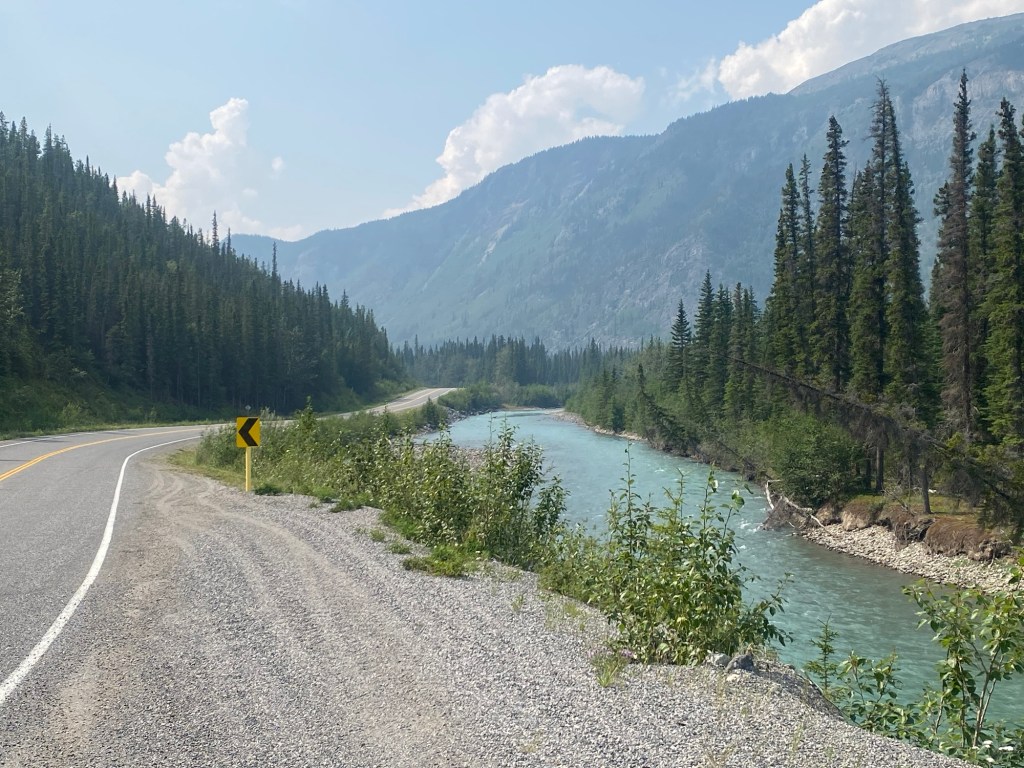
Fortunately, our route turned west the following day, and the air quality became progressively better as we approached the mountains of the Northern Rockies once more. It was a magnificent day’s riding, the road twisting in a way we had not enjoyed for weeks as it followed rivers and valleys among the hills, with only a few large trucks and RVs to share the road.
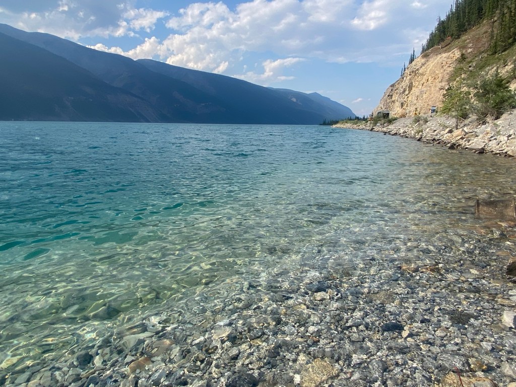
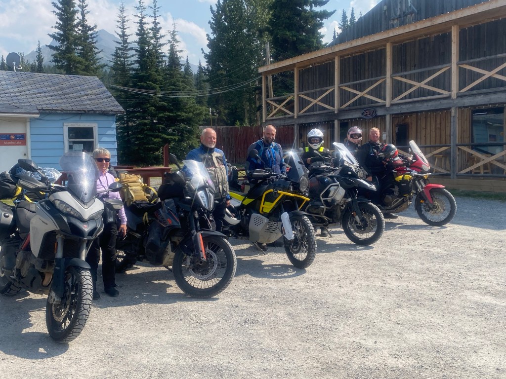
At Muncho Lake I had booked a night’s stay at an old fashioned trucker’s roadhouse called Double G, run by an engaging young Swiss woman and her unbelievably grumpy partner. Lots of conversations with various truck drivers, huge plates of food, and a comfortable log cabin to sleep in. After an early supper we ventured out again on our bikes at near dusk, hoping to encounter a moose but without luck. We did come across a porcupine though.
And so to today, when we finally left the smoke behind us and covered a long distance in hazy sunshine. We passed two bears, and a fox, but no moose. After Watson Lake I was delighted to recognise landmarks from my previous trip here seven years ago, and the junction where I had turned south and where we will be doing the same again in a couple of weeks time.


Leave a comment